Deserts of Iran
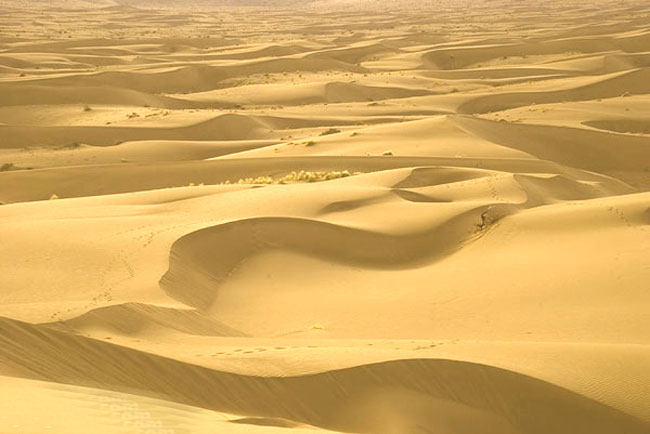
Iran is situated in a high-altitude plateau surrounded by connected ranges of mountains. The well-known deserts of Iran are at two major regions:
1) Dasht-e-Kavir, and
2) Kavir-e-Lut.
They are both some of the most arid and maybe hottest areas of their kinds in the world.
The Desert Pits of Iran
Kavir-e-Lut is the largest pit inside the Iranian plateau and probably one of the largest ones in the world. Kavir-e-Lut is a pit formed by broken layers of the earth.The maximum annual rainfall is approximately 100 mm there. The average altitude of this desert is almost 600 m above sea level (ASL) and the lowest point near “khabis” is almost 300m ASL. In Kavir-e-Lut, large amount of sand is always moving southward forming sand hills and running sand masses.Dasht-e-Kavir is a geological pit almost at the north of Kavir-e-Lut. The minimum altitude of this desert is 400 m ASL. The major part of Dasht-e-Kavir is covered by sand and pebbles and exposed to strong winds and storms that set salt-combined sand in motion like sea waves. At times, this phenomenon forms long sand hills of 40m high.From structural point of view, Dasht-e-Kavir is very much different form Kavir-e-Lut. The difference of temperature between days and nights during a year in Dasht-e-Kavir is between 0 and 70 degrees C.
The Ecological Conditions of The Desert
Some of the ecological features of the deserts in Iran are strong sunshine, relatively little humidity, little rainfall and excessive vaporization. Depending upon how far a point is from higher altitudes, temperature is varied.A point far from altitudes can reach up to 60 degrees C during summer. The average temperature during January and May are 22 degrees C and 40 degrees C respectively. In general, the ecological conditions of the deserts in Iran are so severe that they are not tolerable either in summer or winter.It rarely snow there. The annual relative humidity is below %30. During summer, it decreases, at times, down to %0. It usually rains during winter and sometimes showers that leads to wash away the earth. It goes without saying that there cannot be proper and enough soil and water for plants to grow. Since these regions are always open to winds and there are not sufficient plants to preserve soil, wind erodes the earth and brings about losses. Therefore, blocking winds by wood-made walls and planting shrubs and trees are carried out to confront the destructive natural forces.
Living Situation IN The Deserts
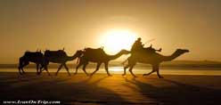
It is always water that determines life situation everywhere. Again it is only water that helps plants grow and people stay in an area within the desert. Water is not easily accessible at every corner of the deserts.Life goes on at the areas where water can be found in springs or through the ancient technique of making underground aqueducts called kariz (qanat). At times, semi-deep wells are dug to get water. So, desert dwellers make the most of the minimum water they get. Local people use the highly tolerant animals, camels, to travel through the desert. Usually vine or similar trees with deep going roots are planted so that they could survive.
Making a Living In The Deserts
People live only in oases in small scales and they rely on farming, herding animals and migrating. They have to plant wheat, barley, fruit trees and alike. In some areas, farming is also in vain. So, they have to make a living just by herding cattle. When neither of the above helps, they have to migrate to somewhere else in search for better living conditions.
Accommodation & Clothing
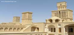
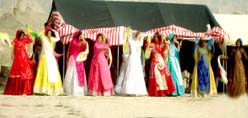
Sun-dried brick, raw mud and in some areas a limited quantity of stone are the only constructional materials used to build houses. Walls have to be built very thick for the sake of insulation and roofs have to be built in cupola or vaulted forms to last longer.People are usually dressed in bright colors and clothing is mostly made of cotton. They are loose and long unless people are influenced by city dwellers’ culture.Although the Iranian plateau forces its compelling situations, its inhabitants struggle for preserving living conditions. These hard working people, who have been struggling for thousands of years in the desert, will not give up so easily.
Written By: Rahman Mehraby
Desert And Its Specifications
A: Rain- The amount of yearly rain is low in deserts, most times less than 250ml. Some deserts in Africa pass years without rain!
B: temperature- Days are very hot(up to 60 centigrades) and night can be as cold as zero. This huge difference between day and night temperature makes desert life so hard.
C: Humidity and Evaporation- Humidity rarely becomes more than 60% while evaporation is very high.
D: Wind- Great difference between the temperature of the surface and layers of the air and lack of flora makes desert winds very powerful sometimes.
E: Native Flora- In many parts of deserts there is no flora and in the rest its mostly not jammed.
Types Of Iran Deserts
Each of the deserts in Iran belongs to one of the following groups:
A: Clay Deserts
B: Wet Clay Deserts
C: Clay and Saltmarsh
Area Of Iran Deserts
Iran Deserts cover about 34 million hectares of the 1648195 square km land of Iran. About 61% deserts, 24% Sand Dunes and 15% Sand hills.
Dasht-e Lut (Emptiness Desert)
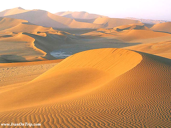
Iran's geography consists of a plateau surrounded by mountains and divided into drainage basins. Dasht-e Lut is one of the largest of these desert basins, 480 kilometers (300 miles) long and 320 kilometers (200 miles) wide, and also one of the driest and hottest places on Planet Earth! A NASA satellite recorded surface temperatures in the Lut desert of Iran as high as 71 °C (159 °F), the hottest temperature ever recorded on the surface of the Earth. This region which covers an area of about 480 kilometers is called Gandom Beriyan (the toasted wheat). Its surface is wholly matted with black volcano lava.There are reports that no living creature lives in this region. Dasht-e Lut has an area of about 51,800 square kilometers (20,000 mi²).Read more
Iran's Lout Desert Earth's Hottest Spot
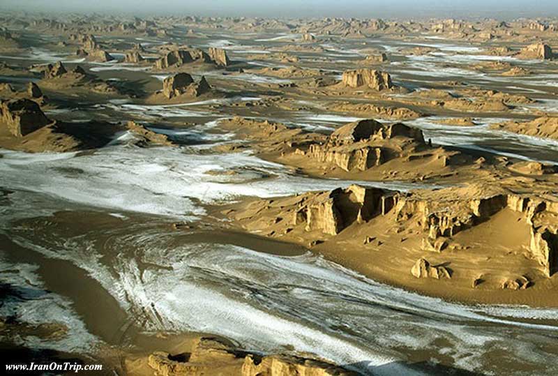
Did you know that according to NASA in 2005 the hottest spot on the Earth was Loot desert in Iran with 70.7`C But in February (2014) this area was covered with snow about 4 centimeters.And the temperature was -9`C. This situation made many tourists surprised in this area Read more
Maranjab Desert
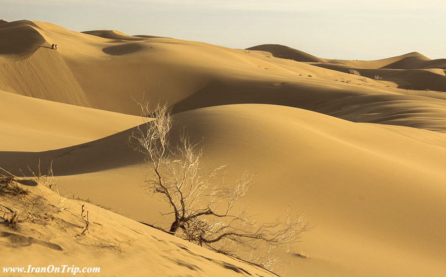
Maranjab is not much far from Tehran and also is close to Kashan and Abianeh two very Attractive places for tourists so its one of the most famous deserts in Iran and it really worths it.Maranjab belongs to AranvaBidgol town in the north of Esfahan Province. Salt Lake, Abbasi Carvanseray(Beside the Ancient Silk way), Sand Hills and many other attractions can be visited in Maranjab.The carvanseray is about 50 km from the town and is mostly the main camp for Maranjab explorers. Water and fuel plus some other services are available in here.
Dasht-e Kavir (Great Salt Desert)
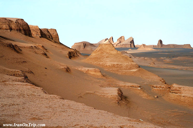
Dasht-e Kavir (Central Desert), also known as Kavir-e Namak or Great Salt Desert is a large desert lying in the middle of Iranian Plateau. It is about 800 kilometers (497 mi) long and 320 kilometers (198 mi) wide with a total surface area of about 77,600 km² (~30,000 mi²).The area of this desert stretches from the south hillside of Alborz mountain range in the north-west to Dasht-e Lut ("Emptiness Desert") in the south-east and is partitioned between the Iranian provinces of Khorasan, Semnan, Tehran, Isfahan and Yazd. It is named after the salt marshes (Kavir) located there.The Dasht-e Kavir's climate is almost rainless and the area is very arid.Temperatures can reach 50 °C in summer, and the average temperature in January is 22 °C. Day and night temperatures during a year can differ up to 70 °C. Rain usually falls in winter. Among the driest places on the planet, it receives an average of only 1.2 inches (3 centimeters) of rain a year. Certain areas of the desert reportedly receive no rain. Extremely barren, the desert contains the only region free from any life, including the existence of bacteria, on Earth!
Kalout (Yardang)
.jpg)
A yardang (Kalout) is a topographical feature that has been carved out of a surface by the wind. The word is derived from the Turkic word yar, which means ridge or steep bank. On Earth they are most commonly found in deserts where there is a sand supply, which abrades the surface when moved by the wind, and soft sedimentary rocks that the sand easily erodes. Over time, the sand wears down the surface into beautiful streamlined shapes that are aligned with the prevailing sand-moving winds.
Iran is famous for mega yardangs in Shahdad, Kerman, where thousands of tourists visit every year. In the western part of Dasht-e Lut lie some of the world's most prominent yardangs. Rising up to 282 feet (80 meters), these streamlined ridges have been carved by the wind out of the silty clay and sand lining the desert floor. Lying parallel to the prevailing north-north-west winds, the yardangs are separated by troughs measuring 330 feet (100 meters) or more. The crests or summits of the largest of these yardangs are rounded or flat; all others are narrow.
Park-e Melli-e Kavir(Kavir National Park)
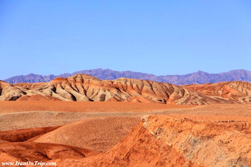
Kavir National Park is located in the west of Semnan desert. Its 60km far from Tehran. Tehran-Garmsar road, Esfahan Province and Qom Great Salt Lake are on its north, south and west.
There are three ways to get to the Park:
A: Getting to Garmsar from Tehran and to Ghasr-e Bahram from there. And then 30km in a dirt road which becomes swampy in the raining season.
B: The second way which is more common is the Tehran-Pishva-Mobarakeh way. Go to Varamin from Tehran and the rest wont be hard to find.
C: You can visit Maranjab and then with a 3 hour drive to north in a sand road you can get to the Park. But remember this way should be passed by a 4WD.
Rig-e Jenn Desert
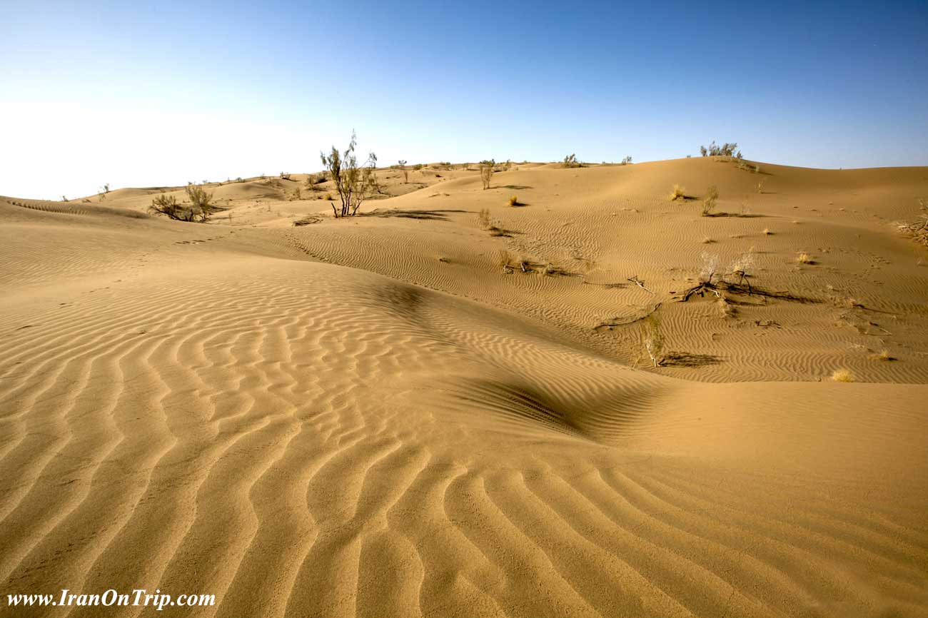
Its located on the SouthWest of the Great Desert and east of Kavir National Park. Rig-e Jenn is one of the worlds most ardeous places because of its high Sand Dunes, vast Swamps and absence of water.
Untill 1997 Rig-e Jenn was never passed. But in that year Ali Parsa(www.aliparsa.com) at last broke the spell and passed this challenging wasteland.
Rig-e Jenn is not a place for beginners. No way! But for professionals a great program can be set, starting from Rig-e Jenn and then Pass Park-e Melii-e Kavir and at last get to Tehran. This is a great 1000km adventure.
Jandagh Desert
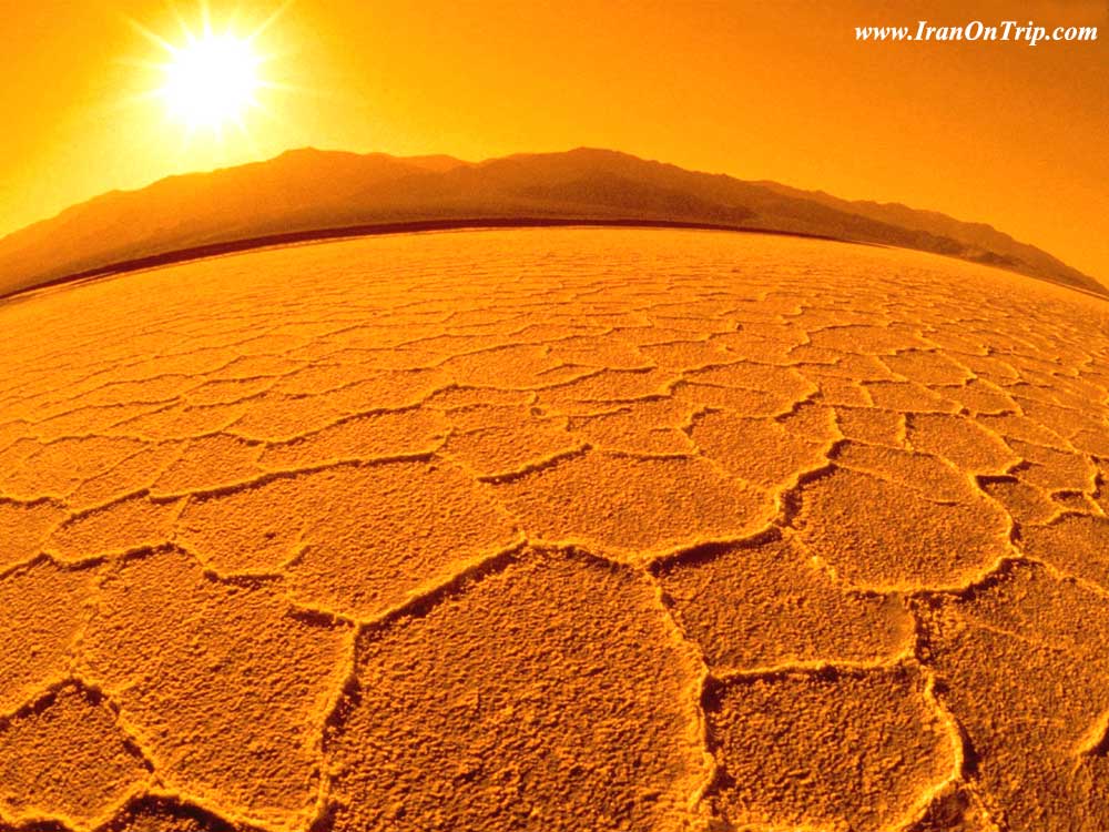
Jandagh is a famous name for the lovers of desert. The best way to get to Jandagh is the Tehran-Mashhad road to Shahrud and then driving to Moalleman and Jandagh from there. After about 6 hours from Shahrud you get to the village which is so green for a desert village. All arround you is the desert waiting to be explored.
Haj Ali Gholi Desert
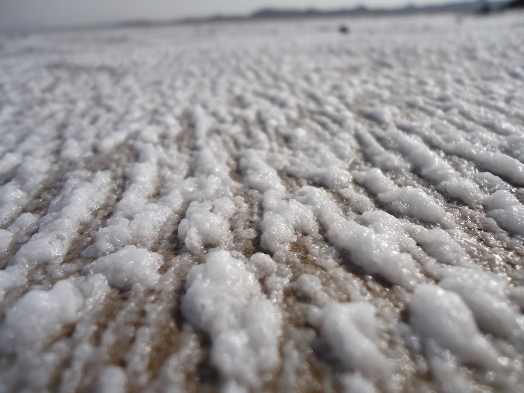
Its located on the Southeast of Damghan city. Huge amount of mountains on a wasteland is what makes this desert special. There are two ways to get to Haj Ali Gholi desert:
A: From Shahrud to Moalleman, then Chahjam-Koohkhers dirtroad which goes along the South of the desert.
B: From Damghan to Moalleman, then Dehforat-Koohkhers dirtroad.
Miandasht Desert
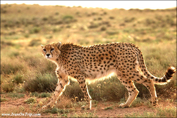
Miandasht is famous for its Persian Cheetah(Acinonyx Jubatus). Not the only place that this precious cat lives in Iran as there are some few of them in other deserts too. But in Miandasht there is a much bigger chance to see one or at least these days to see a footprint! For getting to Miandasht you Should go to Shahrud and then Jajarm. If you are interested in Wildlife like me this place is a paradise for you.
Dehsalm Nehbandan Desert
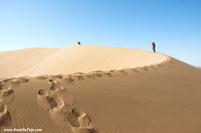
Dehsalm Nehbandan Desert: Distance to Birjand 285 km
Location: Dehsalm village is located at 85 km west of Nehbandan city on Nehbandan Shahdad Route. Lut Desert is among the hottest places on earth; so hot that animal carcasses do not decay. Evaporation strength of water is such that carcasses dry before decomposition by bacteria. This region is known as a branch of moon on Earth. Kalout (yardang) is the significant characteristic of Lut Desert at 25 km of Shahdad and less than half an hour driving in an antithetic region of Iran’s cold mountains. In early spring, these mountains are covered with snow; a good summer highland for nomads. During winters Shahdad is visited by numerous tourists, where the coldness of Sirch chills to the bone.
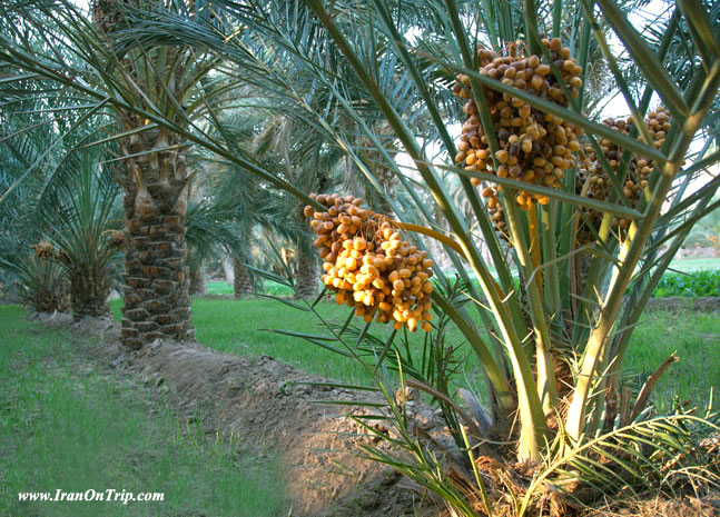
Mythical town of “Kalout” – a narration of Kerman nature – located at 130 km of Nehbandan is a wonderful area near Shahdad. It not possible foranyone to live in this mythical town; indeed living is not possible for anyone in this region, even a bacterium. Yardang is a construct evolved by wind blow on desert soft soil over years; drizzling on arid body of desert, reinforces soils stacked around a rock and creates a construct, like an adobe building from a prehistoric civilization. Journey in yardangs without a guide is dangerous because can get lost in any moment one at an imaginary city of 110 km long and 50 km wide.The world’s highest sandy pyramids, 40 quaternary volcanic cones, broad sand and gravel areas with a color spectrum from light brown to gray and black resembling “gunpowder gorge,” wavy sandy zones, plant covered dunes, Camel Toe Desert (after heavy raining these surfaces seem like some camels walked on it), Hammada (plains of gravel) and salty river are of unique wonders of the Lut Desert.
Sand skiing though not yet done in Iran, but they havethe potential for investment and tourist attraction.By Asia Parvaz
The Great Desert(Central Desert)
Its located in the center of Iran plateau. Its 300*400km and starts almost from Southern slopes of Alborz range in its north side. In south the desert goes far far to Tabas. Rig-e Jenn is on its west and Ozbakkooh and Pirhajat on the east.
Dasht-e Lut (Emptiness Desert) Loot Desert
Kavir-e loot is located on the Southeast of Iran. Its bounded by Naiband(N),Nehbandan(E),Bahabad and Shahdad(W) and Bam(S). The world Biggest Kalouts are in this desert. Almost no water is found so for each day you should have at least 2.5 litters of water with yourself.
Iran Desert Camps
A: Maranjab Carvanseray
B: Shahdad Camp(West of Loot)
C: South Camp of Central Desert(Mesr Village)
D: South Camp of Central Desert(Garmeh Village)
.....
.....
.....

.jpg)
