RIVERS OF IRAN
There is a vastly extended network of rivers in Iran most of which seasonally are filled with water. Some permanent rivers run from the Alborz or the Zagros to the Caspian Sea, Persian Gulf and Oman Sea.
Some temporary rivers either run into a body of water or get dried before reaching any watershed. Here are the watersheds of Iran and the rivers emptying in to each of them:
Caspian Sea Watershed
The major rivers running into the Caspian Sea in Iranian shorelines flow from the northern Alborz attitudes like: Aras, Sefid Rud, Chalus, Haraz, Se hezar, Babol, Talar, Tajan, Gorgan, Atrak, Qarasu and Neka.
Central & Lateral Watersheds
“Uromiyeh” is the watershed for the following rivers: Zarineh Rud,Talkheh Rud , Simineh Rud, Safi Rud and other minor rivers.“Masileh” at the east of Qom, is the watershed for the following rivers: Jajrud,Karaj, Shur and Masileh.
“Hoz-e-Soltan” & “Hoz-e-Mareh“, at NW of Masileh, are the watersheds for the following rivers: Masileh, Shur and Hableh Rud.
Persian Gulf & Oman Sea Watersheds
The Zagros serves as the main originating headspring of the rivers running into the Persian Gulf & Oman sea watersheds. Among all these rivers, the major ones are: Arvand Rud, Gamasb, Karun, Jarahi, Zohreh, Dalaki, Mend, Shur, Minab, Mehran and Naband.
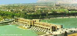
ZayandehRud River
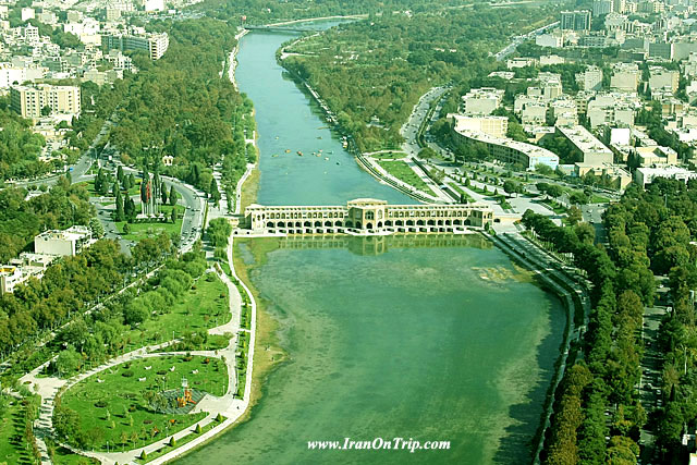
Zayande-Rud or Zayanderud, also spelled as Zayandeh-Rood or Zayanderood, is the largest river in the central plateau of Iran.
Length: 249 miles (400 km)
Source: Zagros Mountains
Mouth: Gavkhouni
Country: Iran
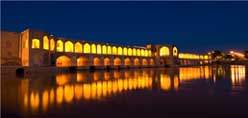
Bridges: Siosepol Bridge, Khaju Bridge,Maroon Bridge,Shahrestan Bridge.Joei Bridge
Chalus River
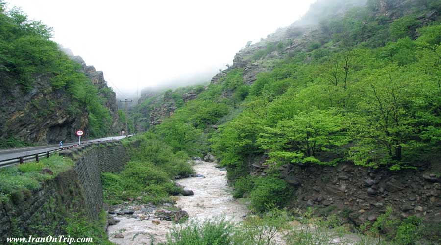
Chalus River is another important river at the north of Iran for fish farming.
Karoon River
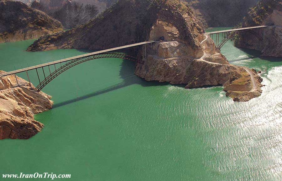
The Karun is Iran's most effluent, and the only navigable, river. It is 450 miles long. It rises in the Zard Kuh mountains of the Bakhtiari district in the Zagros Range, receiving many tributaries
Length: 590 miles (950 km)
Discharge: 20,310 ft/s (575 m³/s)
Basin area: 25,185 sq miles (65,230 km)
Mouth: Shatt al-Arab
Source: Zard-Kuh
Country: Iran
Shatt al-Arab River
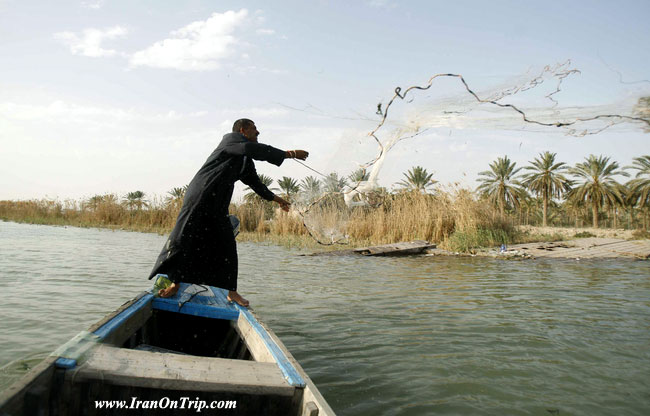
Shatt al-Arab is a river in Southwest Asia of some 200 km in length, formed by the confluence of the Euphrates and the Tigris in the town of al-Qurnah in the Basra Governorate of southern Iraq. Wikipedia
Length: 124 miles (200 km)
Discharge: 61,800 ft³/s (1,750 m³/s)
Mouth: Persian Gulf (also known as Arabian Gulf)
Sources: Tigris, Euphrates
Cities: Abadan, Iran, Khorramshahr
Countries: Iraq, Iran
Atrek River
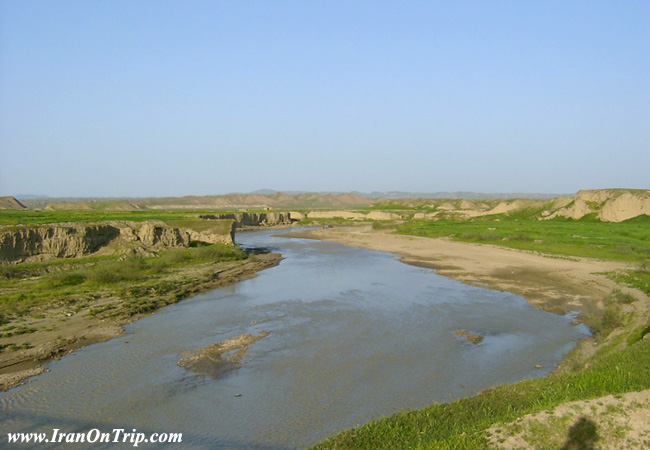
The Atrek is a fast-moving river which begins in the mountains of Northeastern Iran, and flows 563 km westward draining into the southeastern corner of the Caspian Sea in Turkmenistan. Wikipedia
Length: 416 miles (669 km)
Source: Iran
Countries: Turkmenistan, Iran
Haraz River
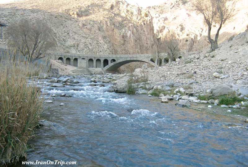
Haraz is a river in Mazandaran Province, northern Iran that flows northward from foot of Mount Damavand across Larijan, through Amol city, and finally to the Caspian Sea between Mahmood Abad and Fereydoon Kenar
Length: 93 miles (150 km)
Source: Alborz
Mouth: Caspian Sea
Country: Iran
Bridges: Davazdah Cheshmeh
Dez River
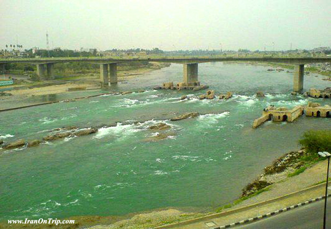
The Dez River, the ancient Coprates, is a tributary of the Karun River and is 400 km long. It is the site of the Dez Dam. Wikipedia
Length: 249 miles (400 km)
Country: Iran
Bridges: Dezful Old Bridge
Royan River
.jpg)
Aras River
The Aras River, also known as Araks, Yeraskh, Araxes, Aras, Araz, is a river located in and along the countries of Turkey, Armenia, Azerbaijan, and Iran. Its total length is 1,072 kilometers. Wikipedia
Length: 666 miles (1,072 km)
Basin area: 39,382 sq miles (102,000 km²)
Mouth: Kura River
Source: Erzurum
Countries: Turkey, Armenia, Azerbaijan, Iran
.....
.....
.....

.jpg)


