.jpg)
Isfahan Chahar Bagh Boulevard
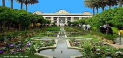
Chahar Bagh Boulevard (Persian: چهارباغ, translation: Four Gardens) is a historical avenue in Isfahan constructed in the Safavid era of Iran.
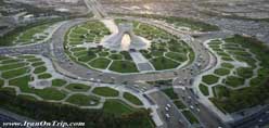
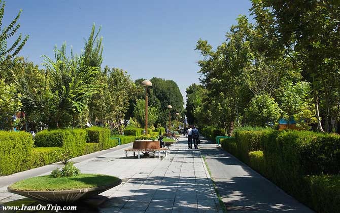
The avenue is the most historically famous in all of Persia. It connects north of city to south and is about 6 kilometers long. On the west side are situated the Gardens of the Vazirs, and on the east the Hasht Behesht and Chehel Sotoun gardens.Chahar Bagh is the main boulevard of Isfahan, Iran. It was built as a part of a larger urban project undertaken between 1596 and 1597 by the Safavid Shah Abbas I. Its name, literally translated as "four gardens", refers to a popular garden typology consisting of four plots divided by waterways or paths forming a cruciform plan.The public boulevard is 1,650 meters long and consists of four quadpartite gardens arranged along a north-south axis that slopes towards the south. Each quadpartite unit is composed of two square and two rectangular plots separated by pathways and is located slightly lower than the preceding unit. Together, they are experienced as a single boulevard with a central promenade flanked by axial garden plots. The gardens have since been converted into roadways, with plane trees lining either side. Running along the center of the promenade was a water channel with cascades; the promenade now only features circular flower beds and light posts.The Chahar Bagh is located approximately 535 meters to the west of the main city square (maidan), and urbanistically serves as the main north-south artery of the city from which all other east-west avenues spring. Between the Chahar Bagh and the Maidan are the royal gardens.
.jpg)
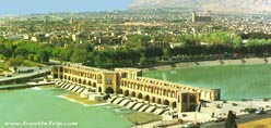
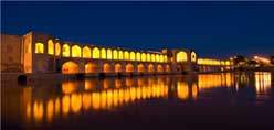
Overlooking the northern end of the boulevard is a small glass pavilion. The boulevard continues on the other side of the Zayandeh river, crossed by the Allahverdi Khan Bridge (b. 1602), where the royal gardens of Hazar Jarib are located. Further south, the Chahar Bagh connects Isfahan with Julfa, an Armenian Colony settled during the reign of Shah Abbas.
History
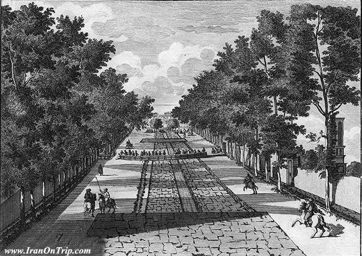
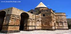
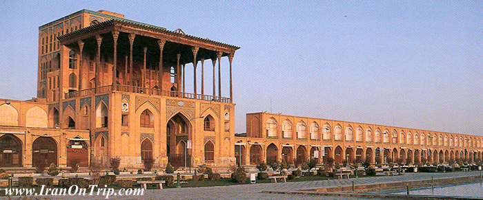
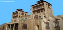
Shah Abbas I was the king who changed his capital from Qazvin to Esfahan and decided to pour all the countries artistic wealth into that central spot which has been dubbed for centuries "Nisfi Jahan" or "Half the World". The chief architect of this task of urban planning was Shaykh Bahai (Baha' ad-Din al-`Amili),[3] who focused the programme on two key features of Shah Abbas's master plan: the Chahar Bagh avenue, flanked at either side by all the prominent institutions of the city, such as the residences of all foreign dignitaries, and the Naqsh-e Jahan Square.The Chahar Bagh continues to be an important social gathering place of Isfahan. At its inception, it was lined by palaces and residences of noblemen that faced on to it with open arcades giving views to their private gardens. In 1706-1714, the large madrasa complex of Madar-e Shah was built along the eastern side of the boulevard. Today, it is lined with shops, hotels, and some remaining palaces.
"In the late 19th century the English artist, Sir Robert Ker Porter wrote of the Avenue:"
"We passed through the most charming parts of the Chahar Bagh; taking our course along its alleys of unequalled plane trees, stretching their broad canopies over our heads, their shade being rendered yet more delightful by the canals, reservoirs and fountains which cooled the air and reflected the flickering light through their branches. Thickets of roses and jessamine, with clustering parterres of poppies and other flowers embanked the ground, while the deep green shadows from the trees, the perfume, the freshness, the soft gurgling of the waters and the gentle rustle of the breeze, combining with the pale golden rays of the declining sun, altogether formed an evening scene, as tranquilizing as it was beautiful"
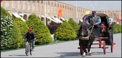
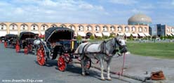
The Avenue runs from a district known as Hezar Jerib (The thousand acres) in the South up to a wide square near the palace of Chehel Sotoon, crossing the Zayandeh at the Si-o-Seh Pol bridge. The name means literally "Four Gardens" and this alludes to the four great parks which were laid out on either side of the road. The central path was originally a watercourse and the pathways on either side of it were set as present amongst double rows of chenar trees (platanus orientalis). The asphalted roads on either side of the central reservation were originally flower beds.Today the avenue is very much the centre of life in the town. The shops abutting it are the finest, and the principal hotels in the city are situated either on it or adjacent to it. The central reservation is screened from the ever-present traffic although you need to watch out for motor-cyclists, and at dusk it is full of people taking the air and talking.
.....
.....
.....